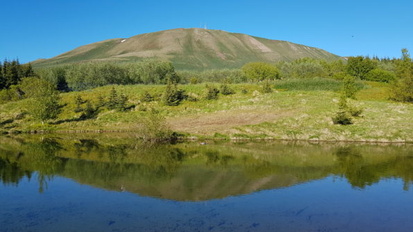
Squeezing Húsavík towards Skjálfandi Bay, Húsavík Mountain – Húsavíkurfjall in Icelandic – seems to watch over the town and it plays a major role in the landscape, despite the far from impressive elevation of 417 mt a.s.l. In winter it gets covered in an immaculate white cloak while in summer the green slopes become purple for the thousands of blossoming Lupin flowers.
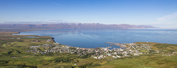
Surely walking to the top of Húsavíkurfjall is the best way to experience the mountain and the surroundings. The hike takes about 1,5 hours to climb up and 1 hours to climb down, always on a clear and rather easy path. Enjoy the panorama both on the way up and down but, once on the top, allow yourself enough time to rest and breath the beauty of the view: Húsavík, the shiny Skjálfandi Bay, the impressive mountains of Flateyjarskagi on the other side of the bay and the black beach of Sandur at its bottom, the rounded Lundey and the flat Flatey, with clear sky even Grimsey.
The main walking paths start from the campsite and from an access just north of the Húsavík Museum.
Route map for walking from Húsavík
It is possible to reach the top of the mountain by car as well. If you prefer this option, and if you have got a 4×4, drive out of town along road n.85, direction north, for about 1,5 km until Gónhóll, the parking area on the left side of the road. On the other side a gravel road leads to the mountaintop. The whole drive is 5,2 km each way.