With a wide range of paths of various lengths and difficulties, the surrounding of Húsavík and the Diamond Circle offers excellent hiking opportunities to anyone. Both those looking for short and easy trails and those wanting to take on long and challenging tracks will find something suitable.
The Vatnajökull National Park is known for its beautiful landscapes and mesmerizing hiking trails. There is no better way to discover this UNESCO world heritage than by foot and get in touch with nature.
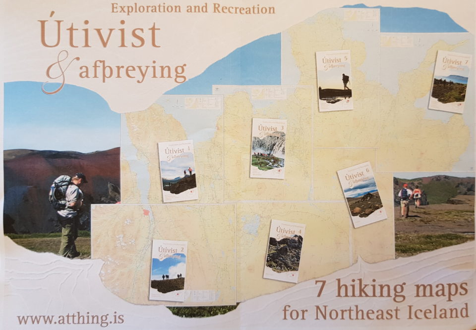
Detailed hiking maps for the entire northeast of Iceland are sold at several places, e.g. in the bookstore of Húsavík and can be ordered online at atthing.is.
Ásbyrgi Area
Hiking paths of various length guide visitors through the beautiful landscape of Ásbyrgi. A detailed description of the trails can be found here.
Ásbyrgi to Dettifoss
Hiking up along the Jökulsárgljúfur canyon, from the luxuriant Ásbyrgi to the barren but magnificent environment around Dettifoss, is a unique experience for every hiker. The diversity of the landscape is unique and captures the eye at every footstep: tremendous gorges, quiet ponds, clear springs, rough river, luxuriant forests and bare gravel plains.
Detailed description of the 32km long route can be found here.
Vesturdalur Valley
Along the magnificent valley of Vesturdalur, in between Ásbyrgi and Dettifoss, the highlights you must not miss are the bizarre basalt rocks at Hljóðaklettar. A series of vertical, horizontal and diagonal columns, formed by mysterious volcanic activity, standing over the ground and modeling rosettes, swirls, spirals and honeycombs, in turn give life to enormous and puzzling rock formations of distinctive shape. Various paths guide visitors around the area.
A detailed description of the tours can be found here.
Hólmatungur
Situated between Vesturdalur and Dettifoss is Hólmatungur. In Hólmatungur one can spot three waterfalls and beautiful landscape.
A detailed description of the hiking trails can be found here.
Dettifoss Waterfall
Several walkways guide around Europe’s most powerful waterfall Dettifoss. The waterfall can be approach from the west via road 862 or the east via road 864.
Here is information of you are staying on the western brim and here if you are approaching Dettifoss from the east.
From Dettifoss to Mývatn
For those looking for a hiking trail with overnight camping the tour from Dettifoss to Mývatn can be recommended.
More details can be found here.
Mývatn Area
Mývatn has a lot to offer. The fissures of Grjótagjá and Stóragjá are impressive and enchanting at the same time. There are several great hikes among the dark pillars of Dimmuborgir or along the shore of the lake. Climbing Hverfell gives excellent views over the the lake and the surreal landscapes of Hverir and Krafla make it impossible to get bored.
Details about the hiking trails in the Mývatn area can be found here.